ESDMESDM
Indonesian Journal on GeoscienceIndonesian Journal on GeoscienceThe magnetic basement and structural segmentation of the eastern Bird Head region, Papua, were investigated using marine magnetic data and frequency-domain inversion (MagB_Inv). The studied area includes The Cendrawasih and Yapen–Biak Basins, both were influenced by the Yapen strike-slip fault and transtensional tectonics. Processing involved reducing to the pole, spectral depth estimation, and 3D magnetic inversion to delineate basement geometry, and to infer the sediment thickness. Three structurally bounded subbasins were identified: (1) between Cendrawasih Bay and Num Island, (2) between Cendrawasih Bay and Yapen Island, and (3) between Yapen and Biak Islands. These subbasins exhibit magnetic basement depths ranging from 0.4 to 7 km and sediment thicknesses exceeding 3 km. Magnetic highs around Yapen Island correlate with Miocene volcanic and ultramafic outcrops, interpreted as shallow high-magnetization crustal blocks. The subbasins are bounded by ridges and faults, including the Yapen Fault Zone and fold‑thrust systems, which deform both basement and sedimentary cover. The basement morphology controls sediment distribution, and defines fault‑bound sedimentary zones, consistent with regional tectonic trends. Seismic cross‑sections and shallow earthquake hypocentres further support this structural segmentation. These results provide a structural framework to understand the basin structure, and to support preliminary hydrocarbon evaluations in this underexplored region. Despite these insights, interpretations are constrained by the non‑uniqueness of magnetic inversion process and the absence of well and high‑resolution seismic data.
The study employed marine magnetic data and inversion modeling to investigate the basement morphology beneath eastern Cendrawasih Bay, Papua.The results reveal three subbasins—between Cendrawasih Bay and Num Island, between Cendrawasih Bay and Yapen Island, and between Yapen and Biak Islands—characterized by sediment thicknesses exceeding 3 km and bounded by structural highs associated with intrusive igneous bodies and fault zones, including the Yapen strike‑slip fault and fold‑thrust systems.Magnetic basement depths derived from 2D inversion range from 0.4 to 7 km, delineating subsurface structural segmentation that corresponds with known tectonic features and aligns with regional seismic data.The presence of magnetic highs around Yapen Island and the spatial correlation with Miocene volcanic and ultramafic outcrops further support the interpretation of shallow intrusive basement features.These structural elements influence sediment distribution and may define subbasin geometries that are favourable for initial hydrocarbon assessment.
Penelitian lanjutan dapat difokuskan pada (1) menambah data seismik high‑resolution di sepanjang profil subbasin Cendrawasih untuk menilai ketepatan model basement yang dihasilkan oleh inversi magnetik, (2) melakukan pengeboran well untuk memperoleh data in situ mengenai lithologi dan ketebalan sedimen, serta mengkonfirmasi kedalaman basalt dan kontinuitas struktur fault, dan (3) menerapkan metode integrasi data potensial (magnetik, gravitasi, dan geotermal) dalam kerangka kerja multivariat guna meningkatkan kemampuan prediksi potensi hidrokarbon di zona Yapen‑Biak. Pendekatan terpadu ini akan mengurangi ketidakpastian akibat non‑univarkitas inversi dan keterbatasan data geofisika yang ada saat ini, serta memperluas pemahaman tentang hubungan struktur‑sedimen‑source‑trap di wilayah tersebut.
- Characteristics of Magnetic Basement Depth Beneath China Mainland - ShengâQing - 2015 - Chinese... agupubs.onlinelibrary.wiley.com/doi/10.1002/cjg2.20156Characteristics of Magnetic Basement Depth Beneath China Mainland ShengyAAAaQing 2015 Chinese agupubs onlinelibrary wiley doi 10 1002 cjg2 20156
- Mapping the Depth to Basement by Iterative Rescaling of Gravity or Magnetic Data - Florio - 2018 - Journal... agupubs.onlinelibrary.wiley.com/doi/10.1029/2018JB015667Mapping the Depth to Basement by Iterative Rescaling of Gravity or Magnetic Data Florio 2018 Journal agupubs onlinelibrary wiley doi 10 1029 2018JB015667
| File size | 5.2 MB |
| Pages | 18 |
| DMCA | Report |
Related /

UNIBAUNIBA Penelitian ini bertujuan mengembangkan dan mengevaluasi Sistem Informasi Diklat Pegawai Berbasis Smartphone Android menggunakan Ionic Framework dan databasePenelitian ini bertujuan mengembangkan dan mengevaluasi Sistem Informasi Diklat Pegawai Berbasis Smartphone Android menggunakan Ionic Framework dan database
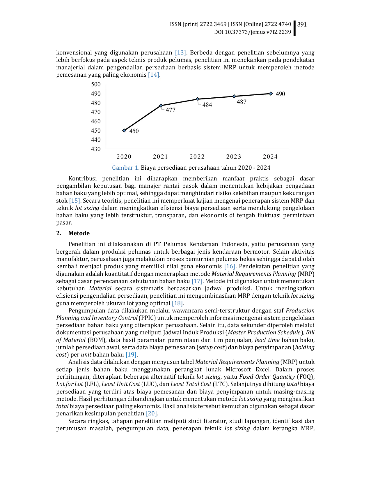
STTMCILEUNGSISTTMCILEUNGSI Temuan ini menunjukkan bahwa penerapan metode LTC dalam perencanaan kebutuhan Material mampu meningkatkan efisiensi pengendalian persediaan melalui keseimbanganTemuan ini menunjukkan bahwa penerapan metode LTC dalam perencanaan kebutuhan Material mampu meningkatkan efisiensi pengendalian persediaan melalui keseimbangan
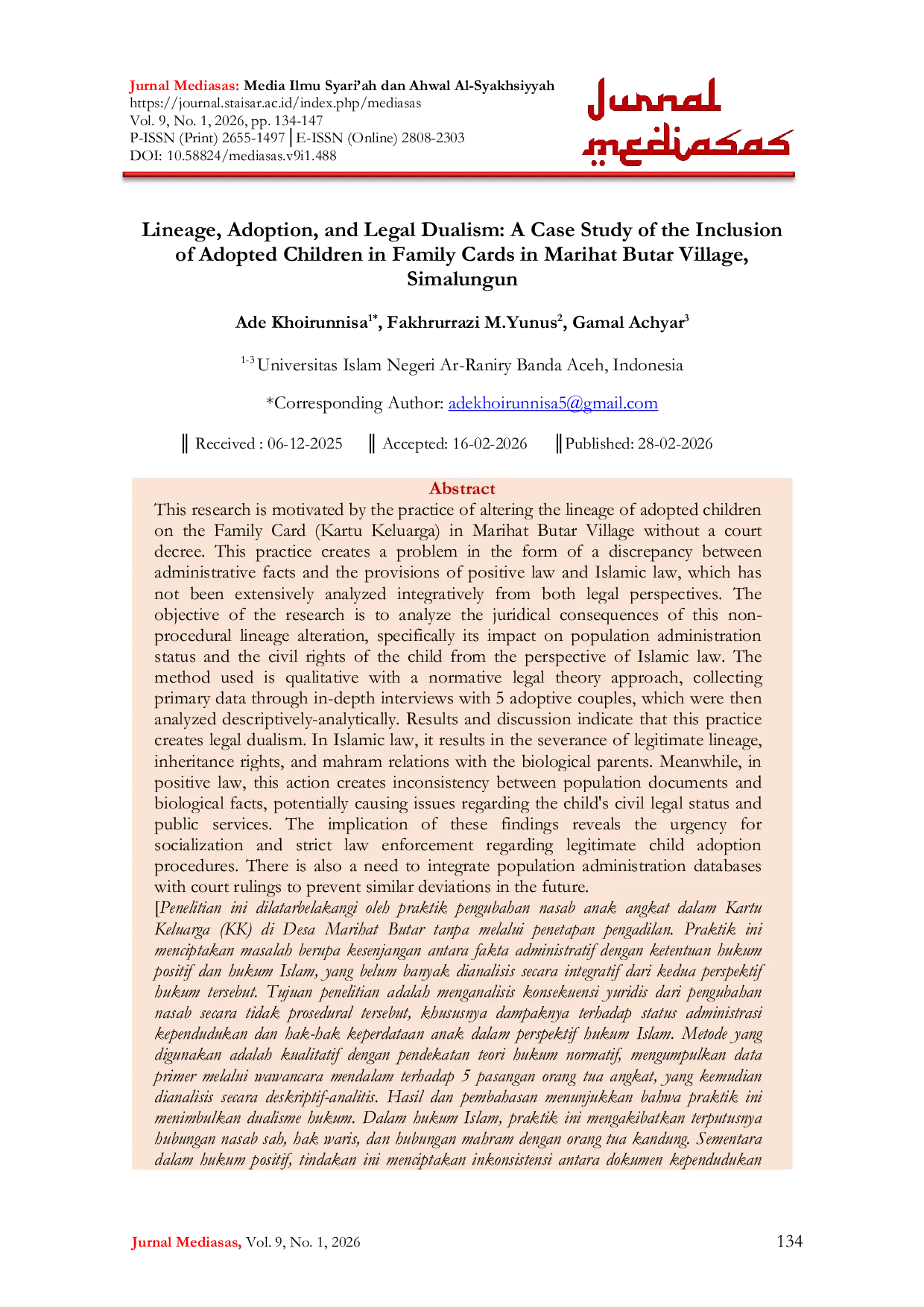
STAISARSTAISAR Tujuan penelitian adalah menganalisis konsekuensi yuridis dari pengubahan nasab secara tidak prosedural tersebut, khususnya dampaknya terhadap status administrasiTujuan penelitian adalah menganalisis konsekuensi yuridis dari pengubahan nasab secara tidak prosedural tersebut, khususnya dampaknya terhadap status administrasi
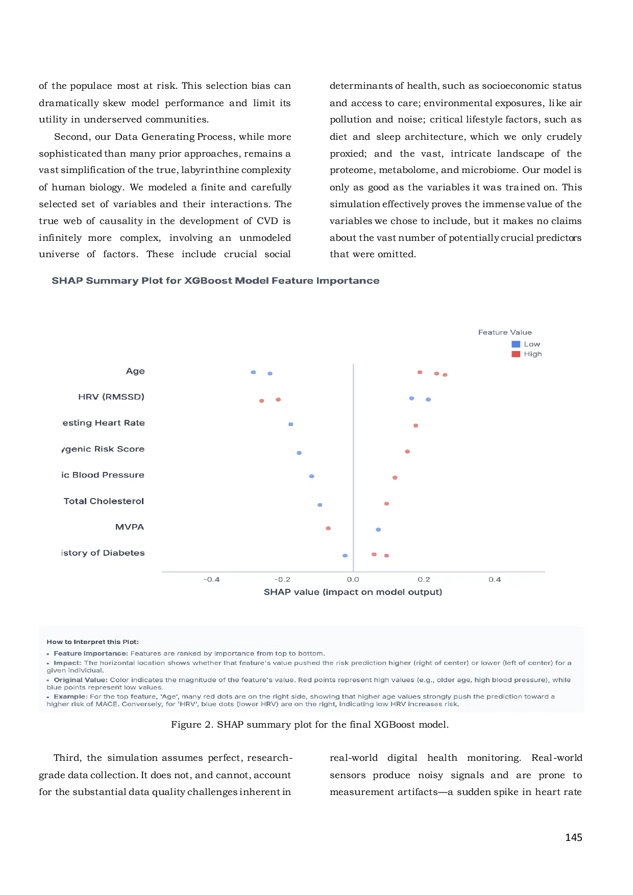
NASETJOURNALNASETJOURNAL Kami mengembangkan proses generasi data (DGP) yang canggih untuk menghasilkan dataset sintetis berisi 5. 000 individu. DGP mencakup variabel demografisKami mengembangkan proses generasi data (DGP) yang canggih untuk menghasilkan dataset sintetis berisi 5. 000 individu. DGP mencakup variabel demografis
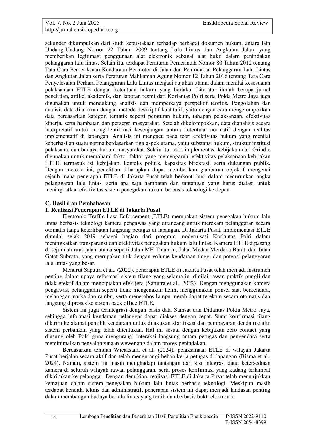
ENSIKLOPEDIAKUENSIKLOPEDIAKU Oleh karena itu, diperlukan perluasan infrastruktur, penguatan kapasitas pelaksana, serta edukasi publik yang intensif agar ETLE dapat mencapai tujuannyaOleh karena itu, diperlukan perluasan infrastruktur, penguatan kapasitas pelaksana, serta edukasi publik yang intensif agar ETLE dapat mencapai tujuannya

UNRIUNRI Teknik analisis data dalam penelitian ini yaitu kondensasi data, presentasi data, penyajian data, dan penarikan kesimpulan. Hasil yang dinyatakan menunjukkanTeknik analisis data dalam penelitian ini yaitu kondensasi data, presentasi data, penyajian data, dan penarikan kesimpulan. Hasil yang dinyatakan menunjukkan
UNIVAUNIVA Hasil diperoleh tegangan lebih maksimum pada sistem terjadi ketika diijeksikan arus surja petir 100 kA dengan kondisi sistem belum terpasang Arester. MagnitudeHasil diperoleh tegangan lebih maksimum pada sistem terjadi ketika diijeksikan arus surja petir 100 kA dengan kondisi sistem belum terpasang Arester. Magnitude
STMIKLOMBOKSTMIKLOMBOK Kolam retensi Simpang Polda merupakan alternatif salah satu bangunan pengendali banjir yang berfungsi untuk menampung sementara debit limpahan air disekitarKolam retensi Simpang Polda merupakan alternatif salah satu bangunan pengendali banjir yang berfungsi untuk menampung sementara debit limpahan air disekitar
Useful /

UNRIUNRI Selain itu menggunakan uji validitas, uji reliabilitas, dan uji chi-square. Hasil penelitian menunjukkan pembiayaan dengan nilai p sebesar 0,018 (p < 0,005)Selain itu menggunakan uji validitas, uji reliabilitas, dan uji chi-square. Hasil penelitian menunjukkan pembiayaan dengan nilai p sebesar 0,018 (p < 0,005)

STITMUBOSTITMUBO Penelitian ini bertujuan untuk mendeskripsikan kesalahan calon guru MI dalam menyelesaikan masalah matematika berdasarkan teori Kastolan dengan ditinjauPenelitian ini bertujuan untuk mendeskripsikan kesalahan calon guru MI dalam menyelesaikan masalah matematika berdasarkan teori Kastolan dengan ditinjau

PRINPRIN Penelitian ini bertjuan untuk mendeskripsikan manajemen sumber daya manusia yang ada pada perusahaan UD Ujes Sejahtera dengan cara melakukan pelatihanPenelitian ini bertjuan untuk mendeskripsikan manajemen sumber daya manusia yang ada pada perusahaan UD Ujes Sejahtera dengan cara melakukan pelatihan

UMPPUMPP Aplikasi ini tidak hanya memberikan informasi terkini tentang liga sepakbola Primer Inggris tetapi juga menyediakan fitur-fitur yang memperkaya pengalamanAplikasi ini tidak hanya memberikan informasi terkini tentang liga sepakbola Primer Inggris tetapi juga menyediakan fitur-fitur yang memperkaya pengalaman